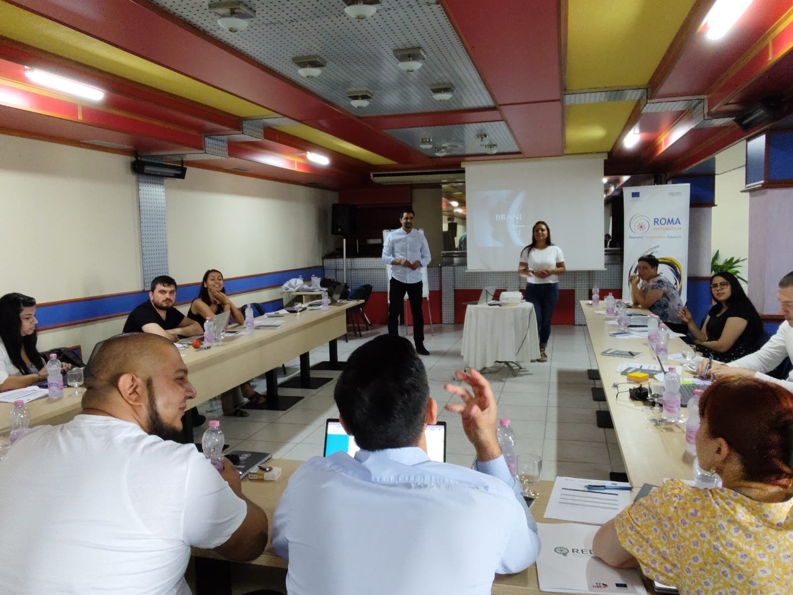


QGIS training - Geographic Mapping Roma Settlements
Roma Integration Action Team organised training on geographical mapping of Roma settlements in QGIS software, through which the participants gained the necessary knowledge and skills to work in this software and manage the data. The initiative for mapping Roma settlements and recording the information in a unique database comes from the Poznan Declaration and the follow-up Ministerial meetings in Tirana and Sarajevo where the participants pledged to collect geographical data on all Roma settlements on their territories by the end of 2021.
Recordings of the training are available below, in three languages (MK, SR, SQ). Please note that the Training – Day 1 in the Albanian language is not available due to technical issues.